Powerful Tools for Construction Management
Automated Orthomosaic Processing
Our platform automatically processes drone imagery into high-resolution orthomosaic maps, giving you accurate site overviews without the technical hassle.
Easy Progress Monitoring
Schedule multiple capture dates with a few clicks and track construction progress over time. Perfect for project updates and stakeholder presentations.
Interactive Annotation Tools
Mark areas of interest, measure distances, and add notes directly on your aerial imagery. Effortlessly create reports and share themwith your team to improve communication.
Why Drone Imagery Transforms Construction
Accurate, real-time aerial insights can make or break a construction timeline. Our platform delivers powerful data visualization that helps you:
- Reduce site visits - Get comprehensive site overviews without traveling to the location
- Improve accuracy - Measure distances, areas, and volumes with precision
- Compare progress - View side-by-side orthomosaic comparisons from different dates
- Enhance reporting - Generate professional reports with annotated imagery
- Prevent issues - Identify potential problems before they become costly setbacks
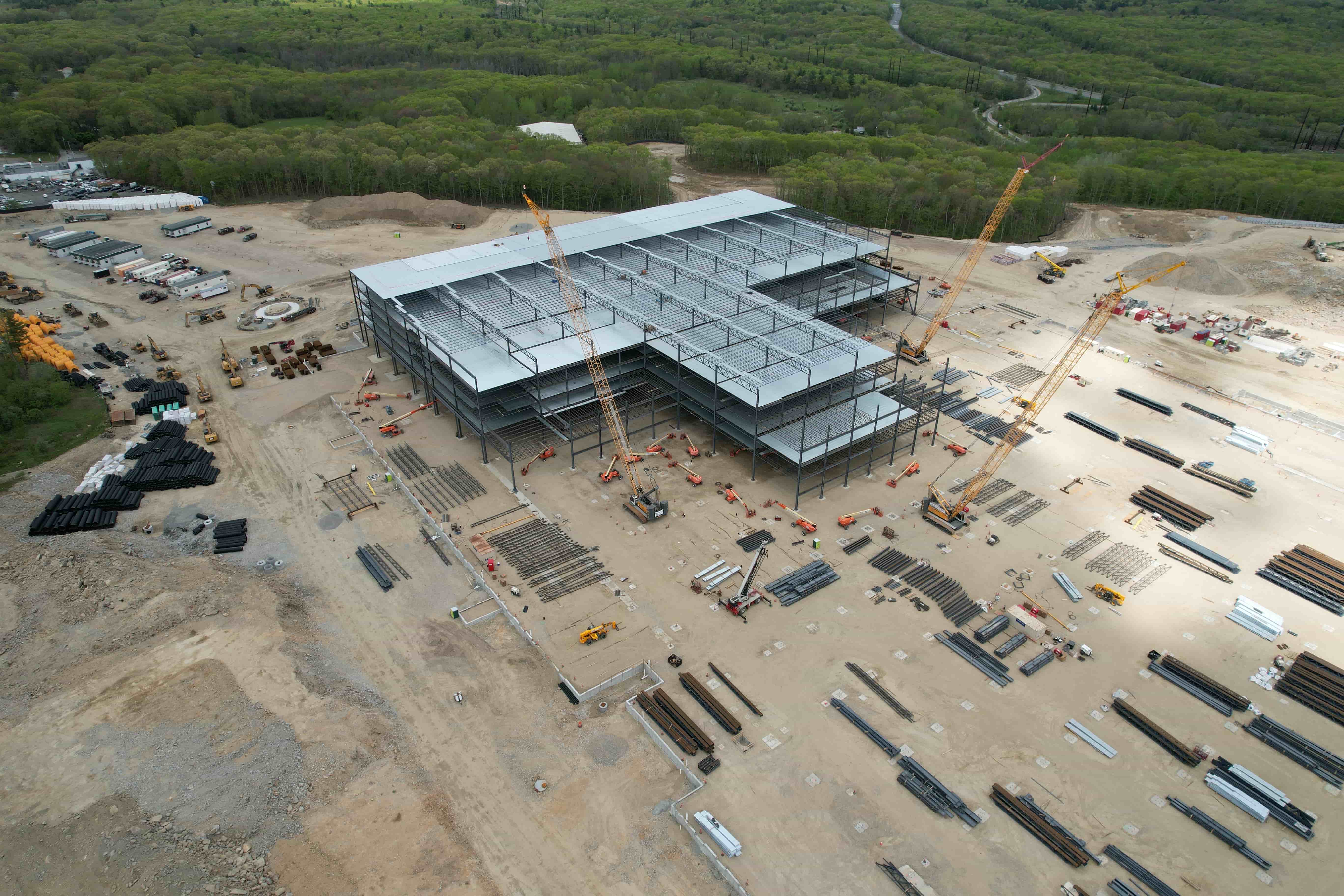
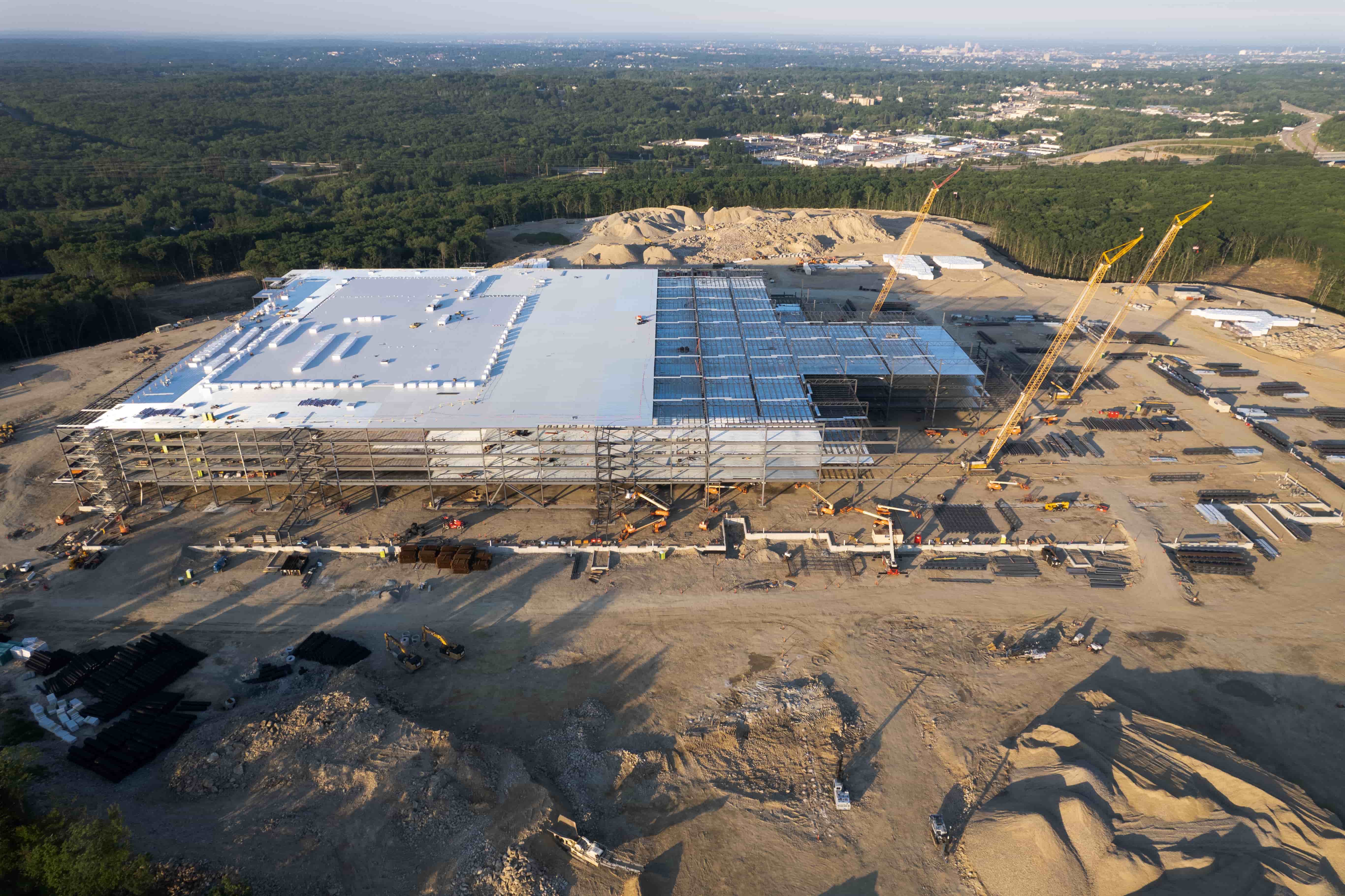
Historical Comparison Made Simple
Our platform's unique side-by-side comparison feature lets you visualize construction progress over time. Select any two capture dates and instantly see what's changed.
-
1
Schedule multiple captures Set up regular drone flights to document your project timeline
-
2
Access processed imagery View orthomosaic maps, 3D models, and measurement tools
-
3
Compare any two dates Slide between captures to visualize progress and identify issues
Streamlined Workflow in 4 Simple Steps
Request Service
Tell us your site location, capture frequency, and specific requirements for your construction project.
Data Capture
Our certified drone pilots capture high-resolution imagery of your construction site according to your schedule.
Automated Processing
Our system processes the raw imagery into orthomosaic maps, 3D models, and measurement-ready data sets.
Access & Analyze
Use our platform to view, annotate, measure, and compare—making data-driven decisions for your project.
Trusted by Construction Leaders
See why construction professionals across the country rely on our drone services to keep projects on track.
Ready to Revolutionize Your Construction Monitoring?
Get started with automated orthomosaic processing, interactive tools, and side-by-side progress comparison. Our nationwide network of FAA-licensed pilots is ready to capture your site.