Order Construction Drone Data
Online in Minutes
Pin your site, choose your capture date, and select from clearly defined deliverables. You know exactly what you're getting and what it costs before checkout—without confusing custom quotes, unnecessary add-ons, or sales-driven upselling.
We schedule the licensed pilot, manage the flight, process the data, and deliver everything to your secure Job Portal.
-
Choose from predefined deliverables Select the exact outputs you need from clear, standardized options—no technical guesswork required.
-
See your price before checkout No quote meetings, hidden fees, or pressure to purchase unnecessary services.
-
We handle everything after the order Pilot scheduling, flight coordination, processing, quality control, and online delivery are included.
No sales call required • Takes about two minutes
- Nationwide Coverage
- Vetted FAA Part 107 Pilots
- Insured Operations
- Quality-Controlled Delivery
A Fully Managed Solution
1. Scheduling
Licensed pilots coordinated for every project and capture date.
2. Capture
Standardized profiles and repeatable angles for consistent deliverables.
3. Processing & QA
Orthos, point clouds, measurements, structured outputs.
4. Delivery
Job Portal by project and date.
Built for Construction Operations
Progress Accountability
Time-stamped orthos and point clouds. Compare any two dates side-by-side so owners and subs see progress clearly.
Fewer Site Walks
Get comprehensive site overviews, measurements, and annotations from your desk. Cut unnecessary travel without losing visibility.
Stakeholder Clarity
One Job Portal by project and date. Share a single link for progress reviews, RFIs, and documentation—no scattered files.
What the Platform Enables
Everything needed to build and maintain a complete project record—from first capture to close-out.
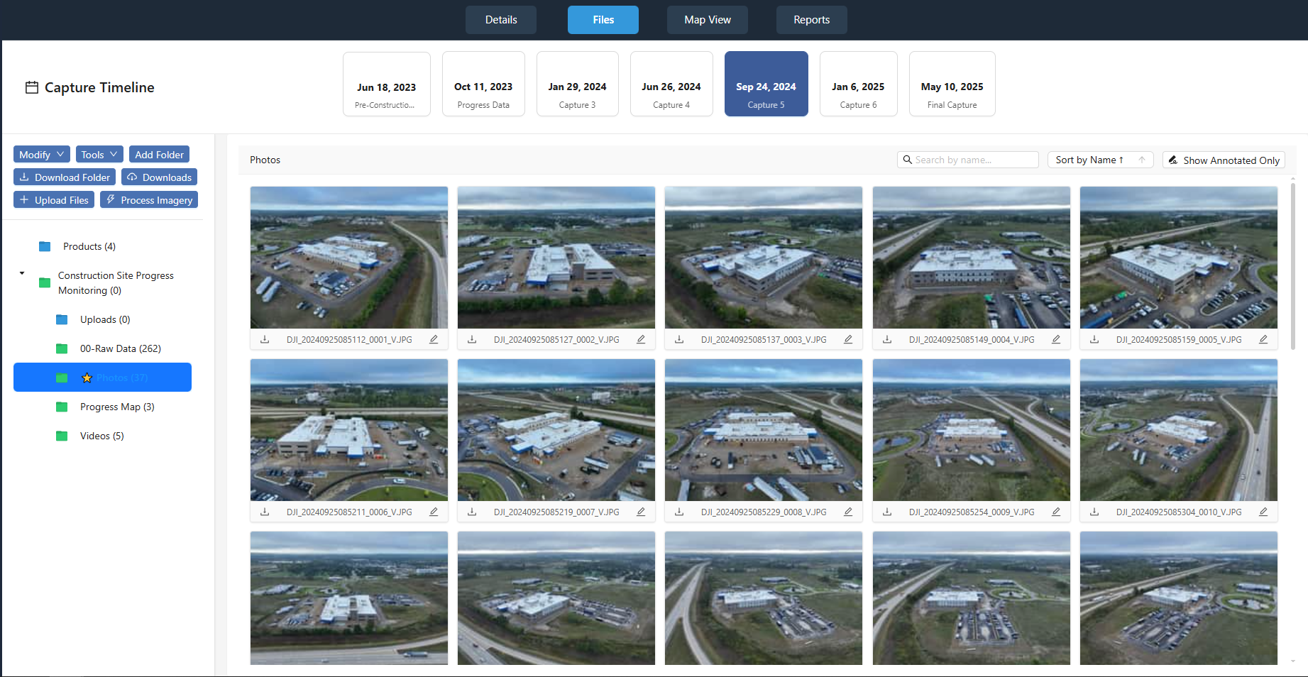
Structured Job Portal
Every capture organized by project and date—no scattered folders.
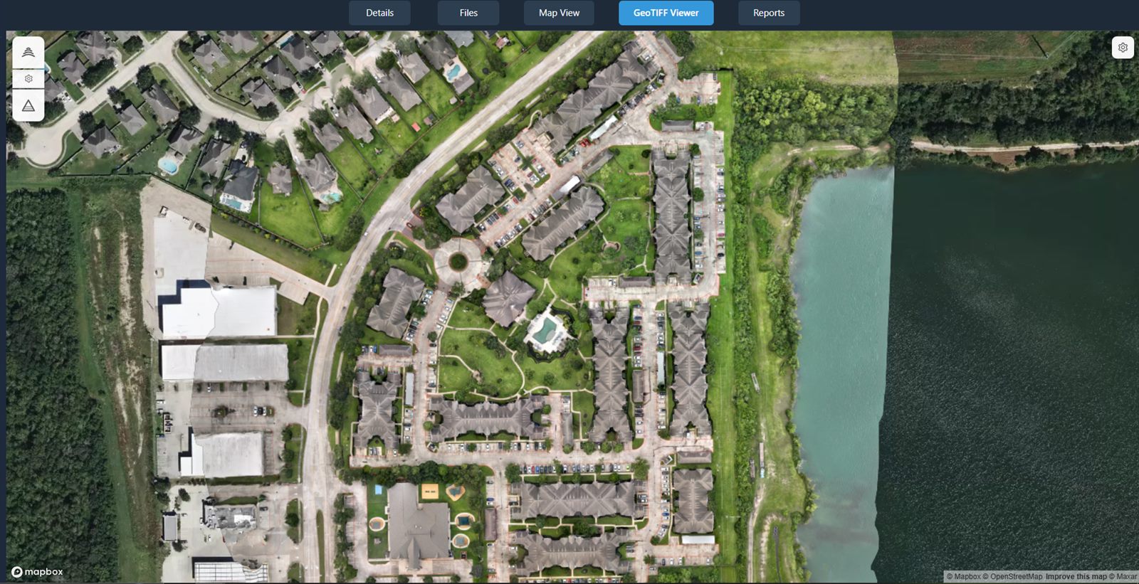
Orthomosaics
Full-site, high-resolution maps with built-in measurement tools.
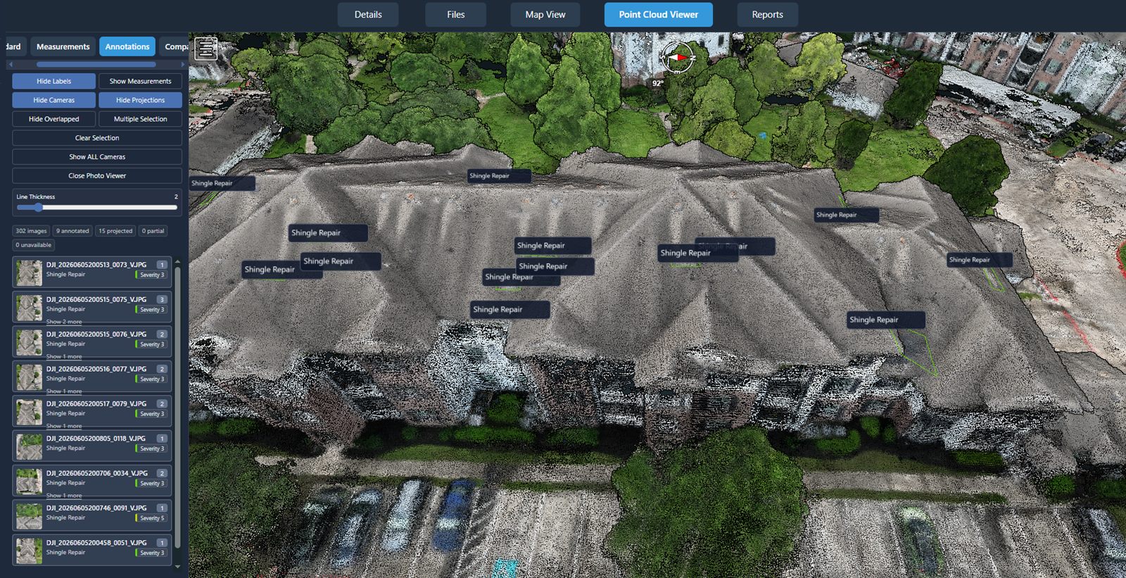
Point Clouds
Georeferenced 3D data—view, measure, and export.
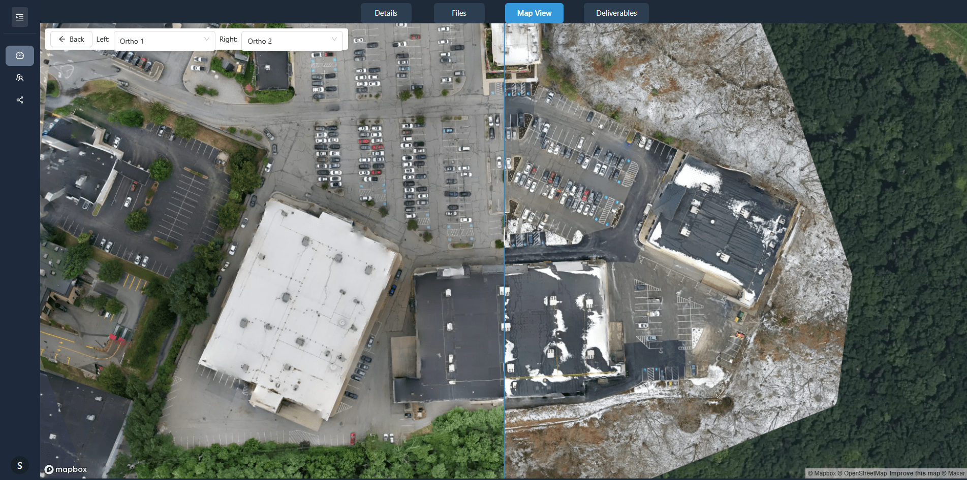
Side-by-Side Comparison
Two dates, synchronized—see progress and spot issues early.
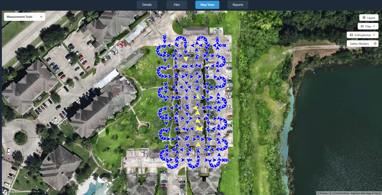
Map-Based Browsing
Navigate by location, not file names.
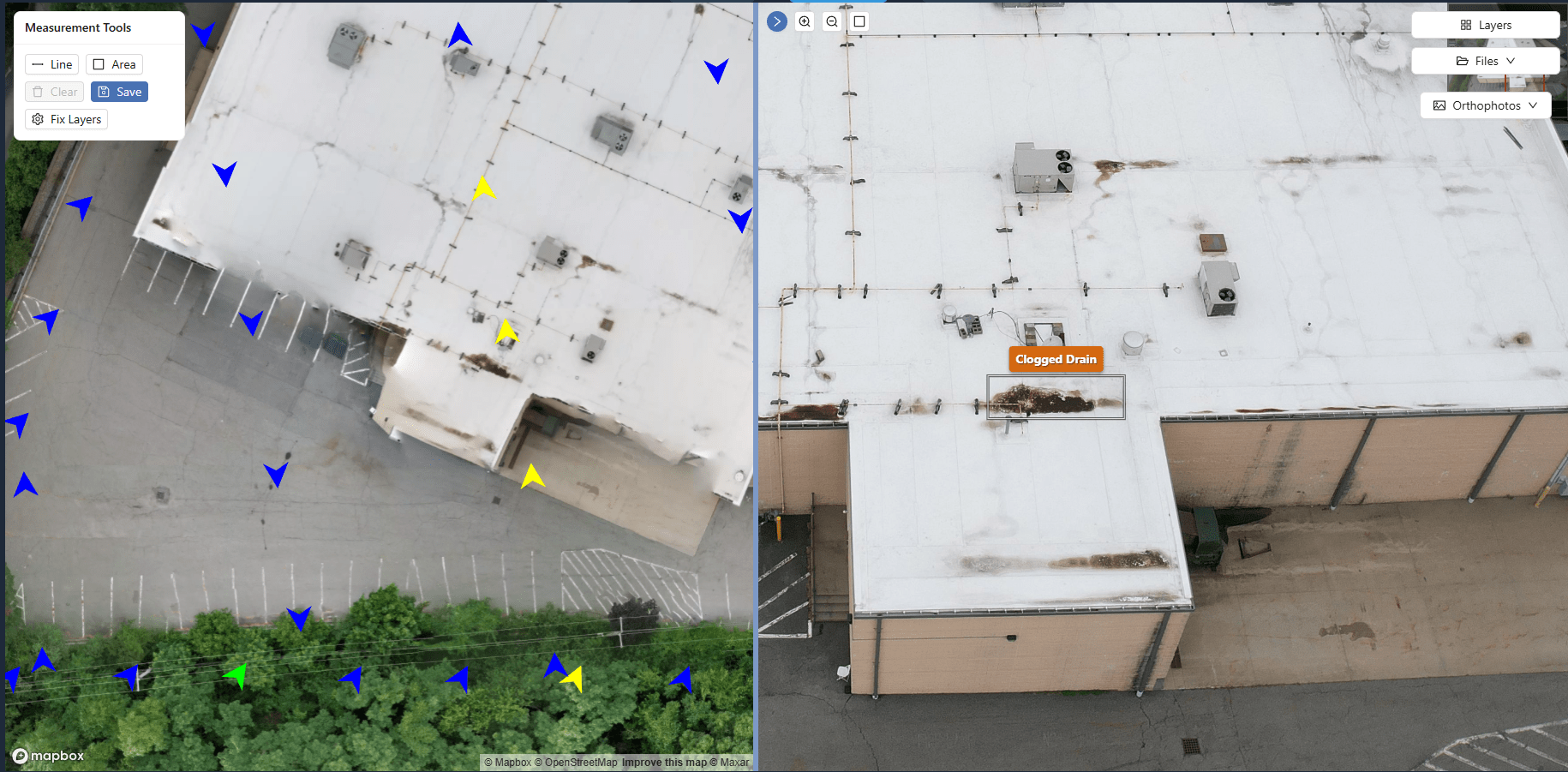
Annotations
Mark issues and RFIs directly on the imagery.
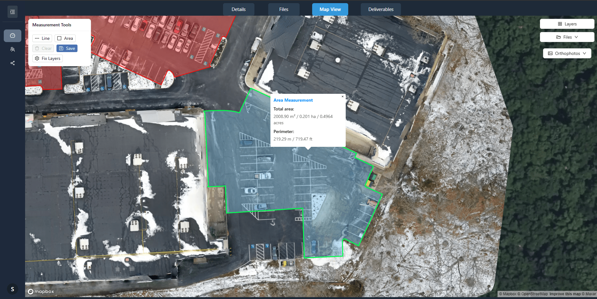
Precision Measurements
Distances, areas, and perimeters straight from orthos.
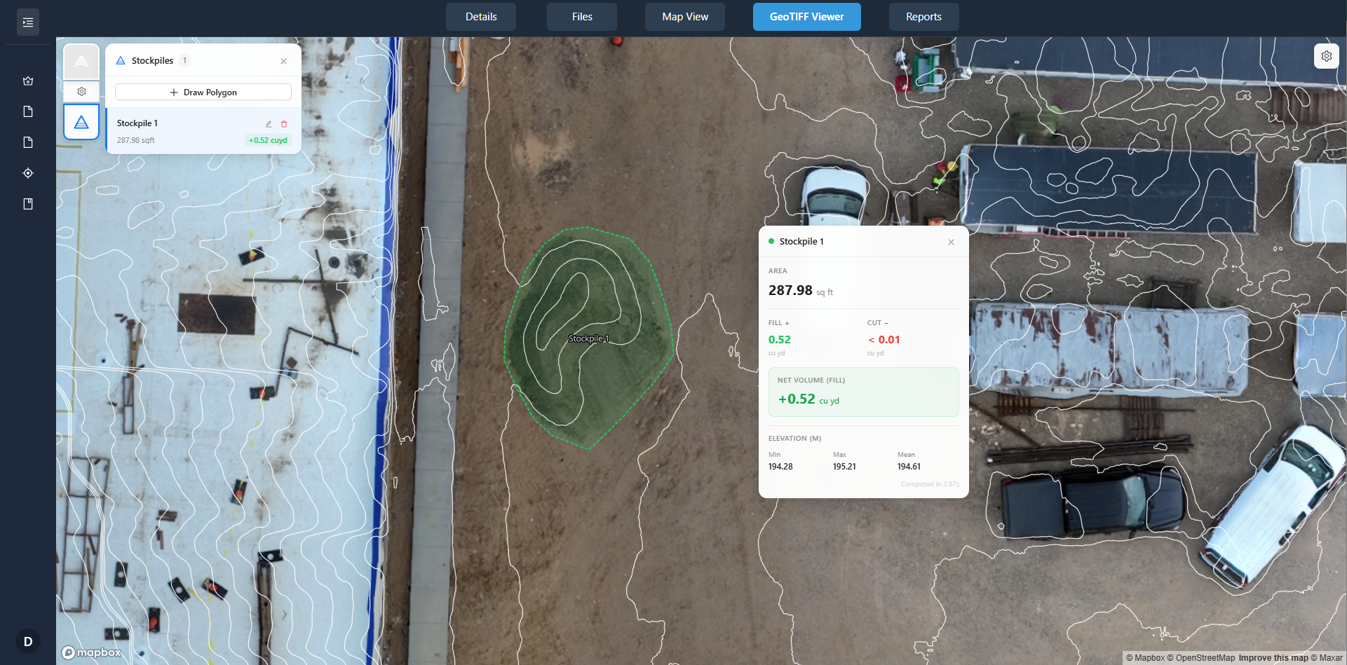
Stockpile Measurement & Tracking
Calculate and track stockpile volumes over time.
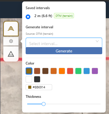
Contour Lines
Topographic overlays for grade and earthwork planning.
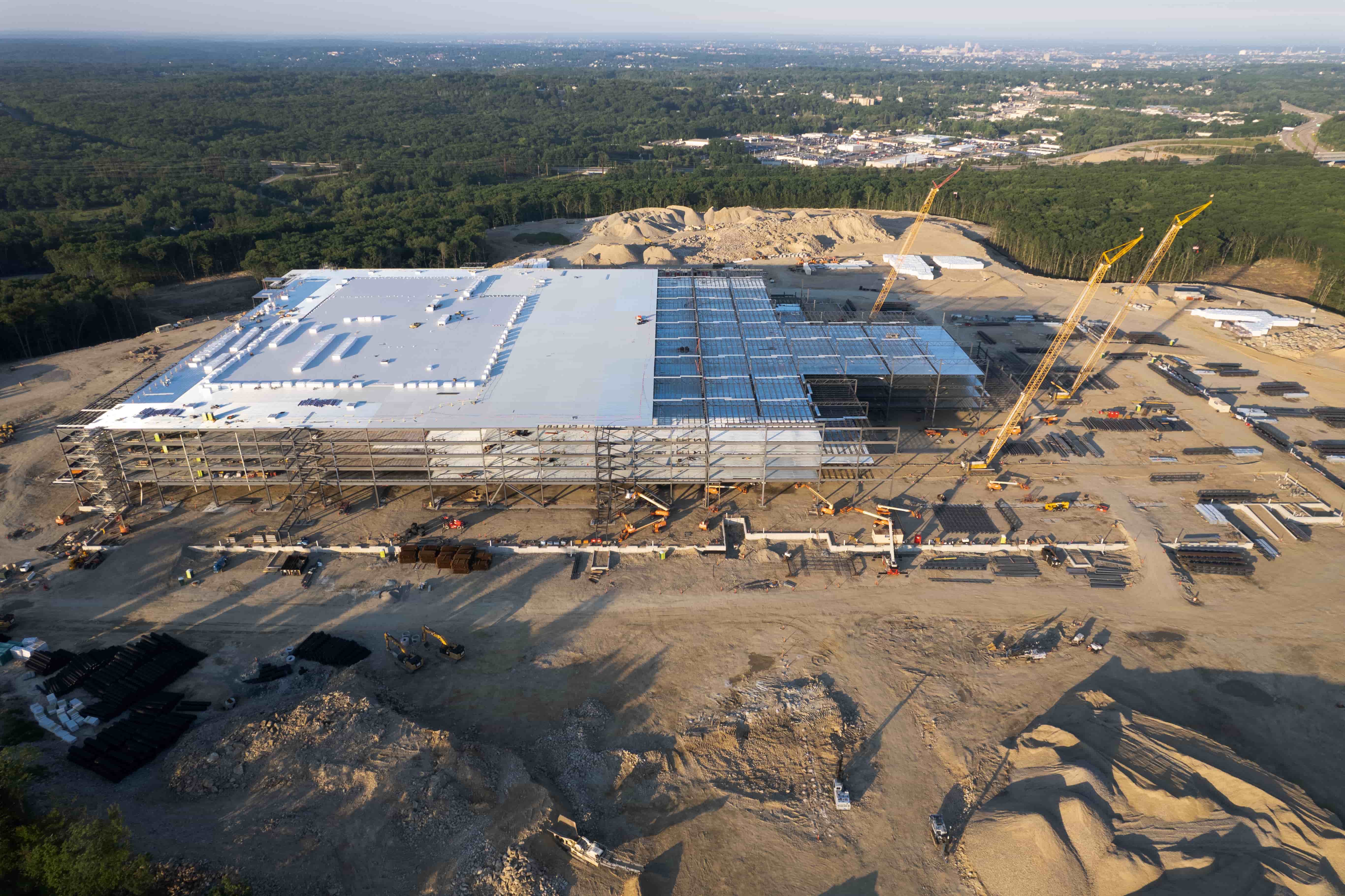
Recurring Captures & Time-Series Comparison
Schedule regular captures to build a complete project timeline. Compare any two dates side-by-side—orthos and point clouds synchronized. See progress, document changes, and spot issues early.
-
1
Schedule multiple captures Set up regular drone flights to document your project timeline
-
2
Access processed data View orthomosaics, point clouds, and measurement tools on an interactive map
-
3
Compare any two dates Slide between captures to visualize progress and identify issues
Why Not a Local Drone Operator?
NDS combines nationwide field operations with a structured data platform built for construction.
Trusted by Construction Leaders
See why construction professionals across the country rely on our drone services to keep projects on track.
Ready to Build Your Construction Data Record?
Schedule recurring captures, compare progress over time, and generate reports. Orthos, point clouds, and time-series comparison—all in one platform.
Frequently Asked Questions
How can drone imagery help my construction project?
Drone imagery provides comprehensive site overviews without traveling to the location, enables precise measurements of distances, areas, and volumes, allows for side-by-side progress comparisons, enhances reporting with annotated imagery, and helps identify potential problems before they become costly setbacks.
How often should I capture drone imagery of my construction site?
For most construction projects, weekly or bi-weekly captures provide optimal tracking. Frequency can be adjusted based on your timeline, complexity, and reporting needs. Our platform makes it easy to schedule regular captures at your preferred cadence.
What deliverables can I expect from construction drone services?
You get high-resolution orthomosaics, 3D point clouds, a Job Portal organized by project and date, time-series comparison, annotation and measurement tools, and optional stockpile volume tracking and contour overlays—all in one platform.
Do I need to manage pilots or buy software?
No. NDS is fully managed: we schedule, fly, and process. You receive a structured Job Portal with orthos, point clouds, and comparison tools—no pilot coordination or new software required.
Can I use stockpile and contour data from the same platform?
Yes. Measure and track stockpile volumes from orthomosaics or point clouds, and view topographic contour overlays on orthos for grade, earthwork, and drainage—all within the same Job Portal you use for progress imagery.
How do I get started?
Create an account to schedule site captures through our pilot network or discuss your project. You can also upload your own data and use the platform for processing, comparison, and delivery.