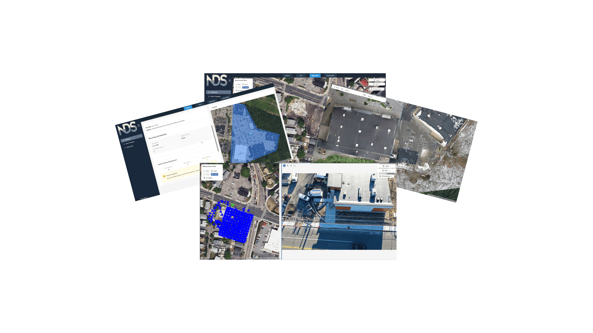
Aerial data infrastructure built for operators
Our platform processes, hosts, and visualizes your aerial data - orthos, point clouds, and imagery. Map-based browsing, time-series comparison, annotations, and reporting. Turnkey capture available when you want us to handle the entire capture workflow. Create a job, customize deliverables, pay, and we handle the flight, QA, and delivery - your data shows up in our platform ready to use. All data lives in one place, organized by property, site, and date.
Processing & Visualization
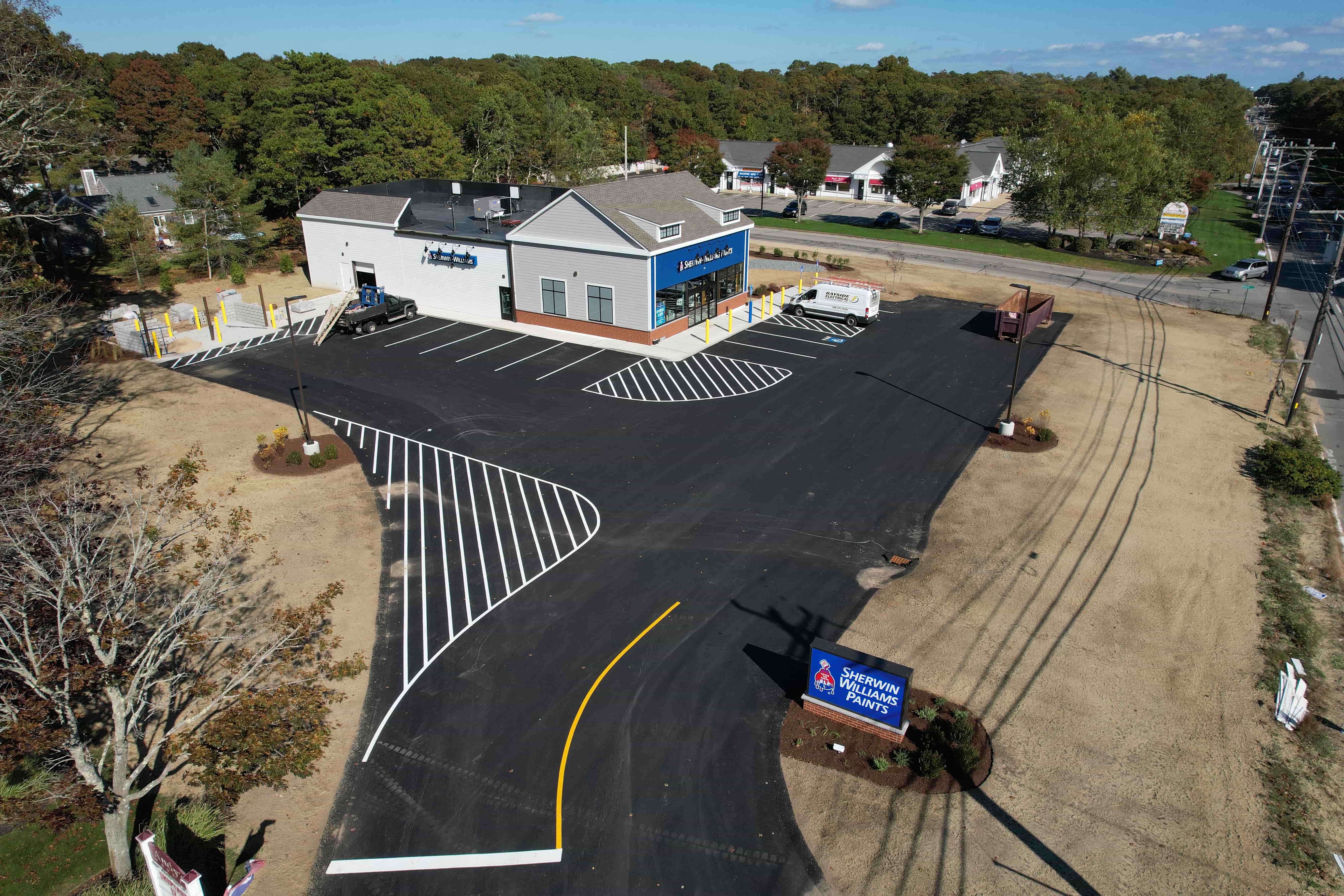
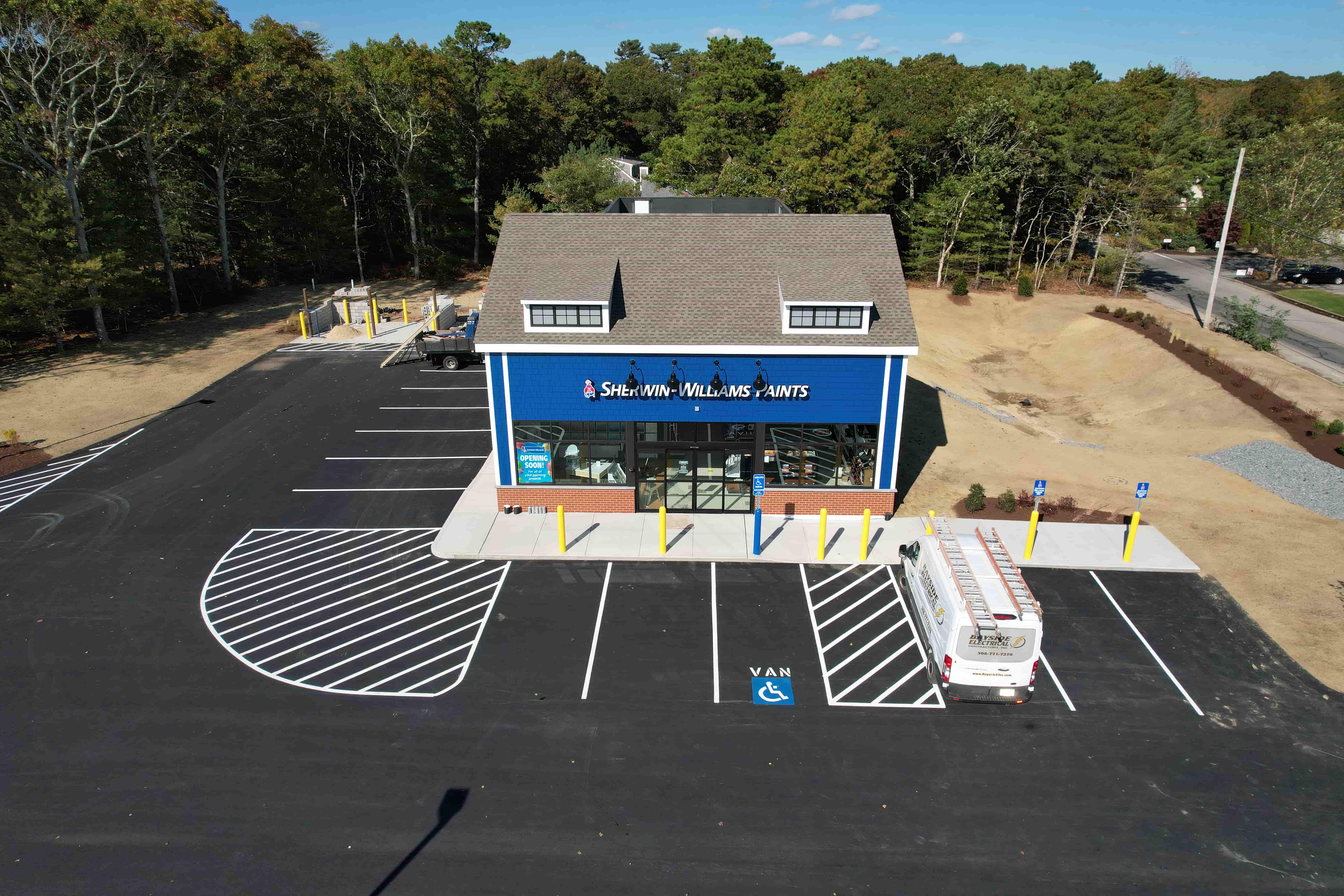
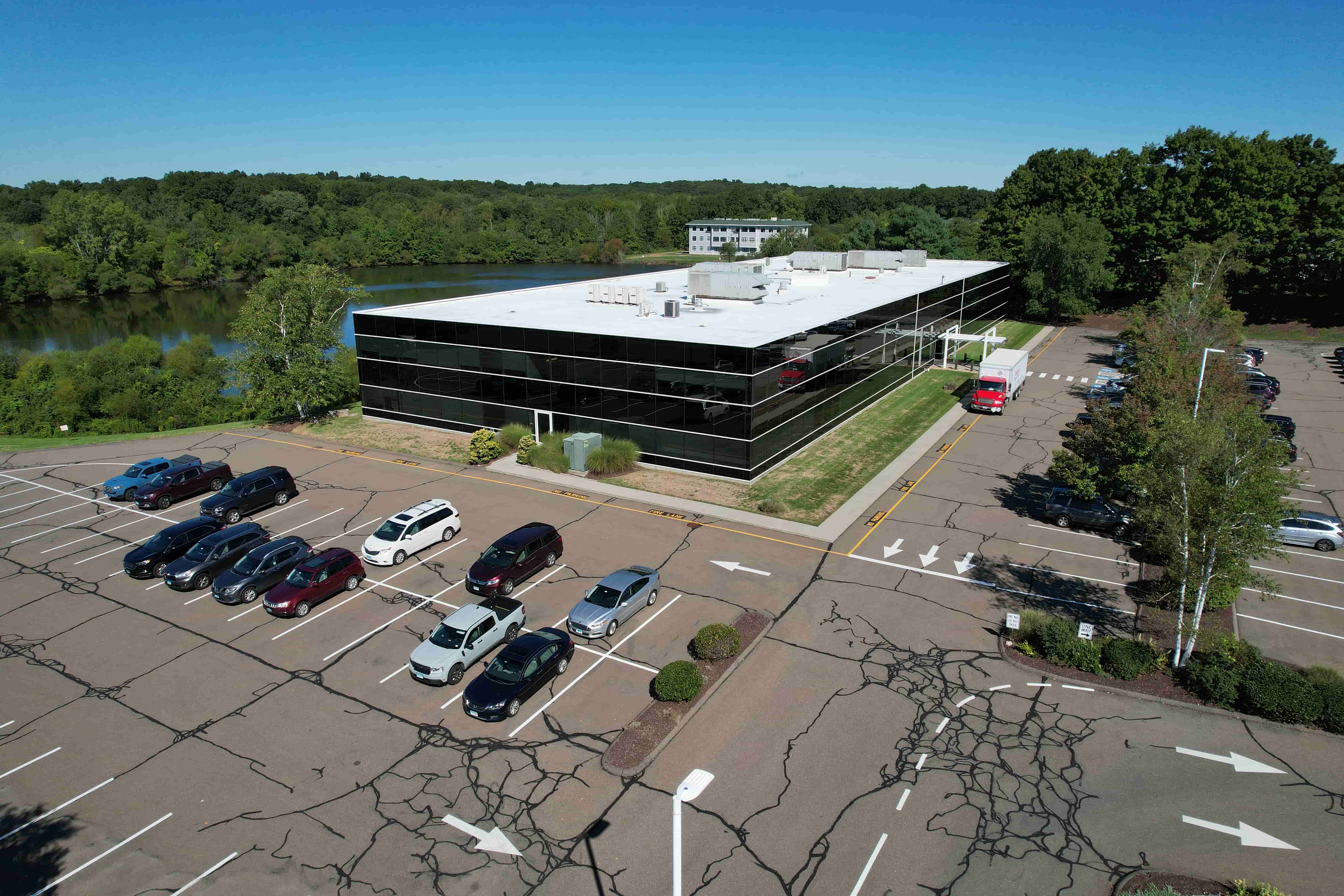
Automated processing turns raw imagery into orthomosaics and point clouds. View everything on an interactive map with measurement tools and image annotation capabilities.
Time-Series History
Compare any two capture dates side-by-side. Track progress, document changes, and build a complete historical record of your site.
Turnkey Capture
Create a job, customize deliverables, and pay. We'll handle the flight, QA, and delivery - your data shows up in the platform ready to use.
Annotations & Reporting
Mark issues, add notes, measure areas. Generate PDF reports from annotations and share with stakeholders.